
Wildlife Surveys & Monitoring
We work collaboratively with public agencies and private entities, guiding projects through permitting and regulatory requirements while helping balance development, restoration, and stewardship of California’s natural resources.
Wildlife & Ecological Research
We pride ourselves on bridging the gap between theoretical ecology and practical land management by providing actionable insights. Whether you have specific requirements necessitated by the National Environmental Policy Act or the Endangered Species Act, or need assistance developing a novel study to answer ecological questions, we provide an array of services including:
Environmental impact reports
Biological assessments
Biodiversity inventories
Nesting bird surveys
Mammal surveys
Herpetofauna surveys
Wetland delineations
Construction Monitoring
With more than ten years of monitoring experience, we support construction monitoring projects throughout Northern California involving a wide range of special-status species including:
Alameda whipsnake
California red-legged frog
California tiger salamander
Dusky-footed woodrat
Giant garter snake
San Francisco garter snake
Salt marsh harvest mouse
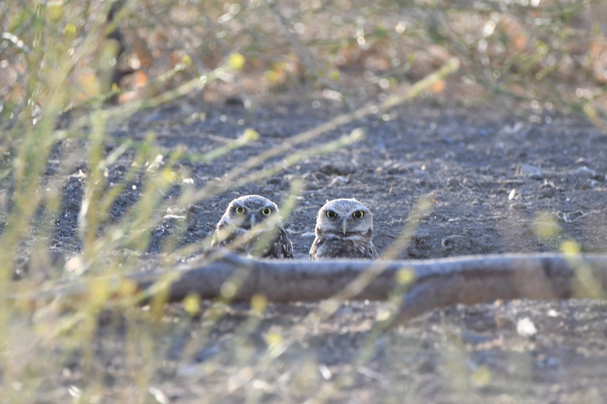
Western burrowing owl
Giant garter snake
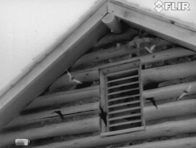
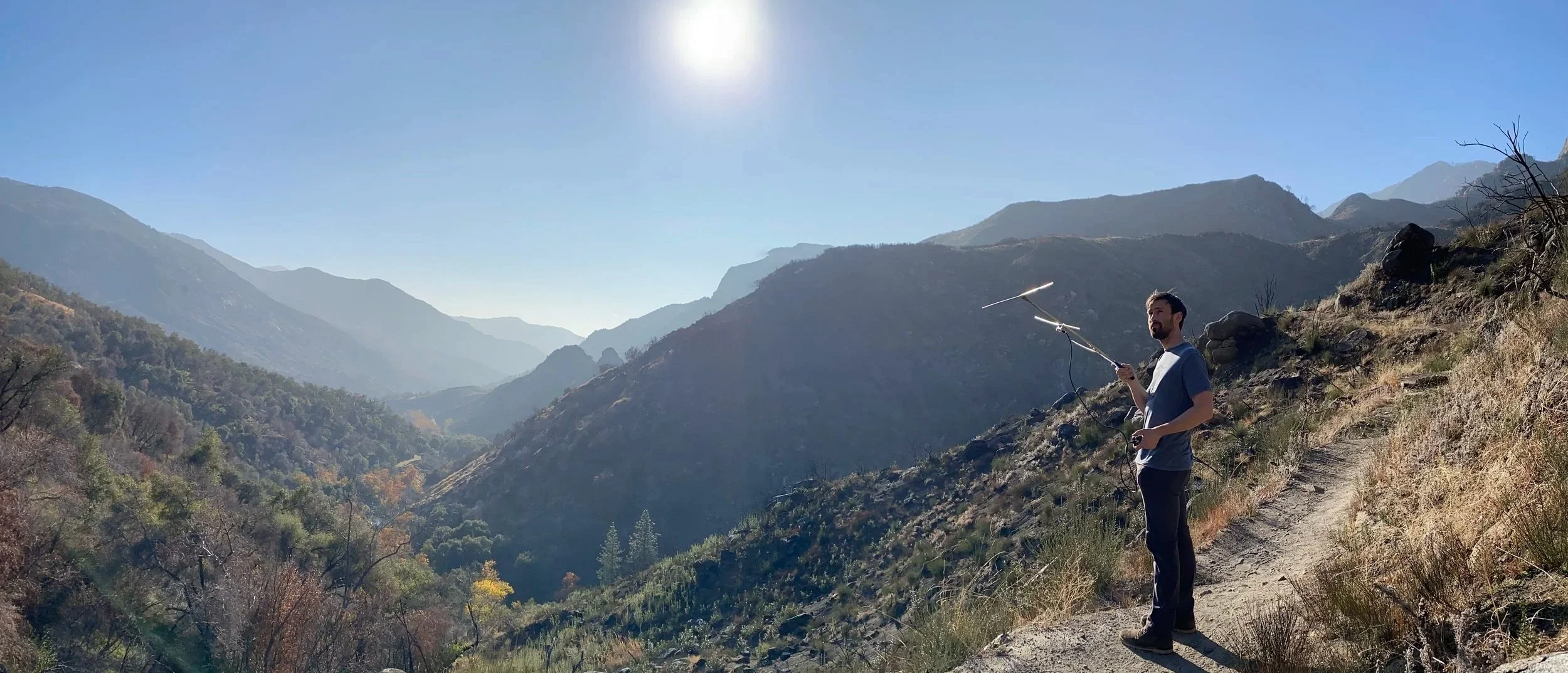
Bat Surveys & Monitoring
Our biologists specialize in several bat survey techniques that are required for regulatory compliance. We can efficiently confirm bat presence or absence, track activity patterns, monitor roost health, identify species, determine relative abundance of bat populations, and mitigate impact to bat populations via:
Emergence and re-entry surveys
Maternity roost surveys
Mist net capture surveys
Disease testing and genetic sampling
Bat tracking, including PIT tagging and radio telemetry
Acoustic monitoring
Roost tree, mine, cave, and bridge surveys
Mitigation planning

Drone Services
With an FAA Part 107–certified remote pilot on staff, we provide drone-based aerial mapping to support ecological surveys, habitat assessments, and project planning. Drone imagery can be integrated with GIS analysis to efficiently characterize site conditions, document habitat features, and support spatial analysis at multiple scales.
All drone operations are conducted in accordance with applicable regulations and disturbance-avoidance protocols.
Interested in working with us?